Proven in Real-World Deployments
Measurable outcomes from city traffic networks to expressways, from extreme climates to low-altitude security perimeters.
City-Wide Signal Optimization — Shandong
Specialized traffic-signal radar collects real-time traffic data at 340+ intersections across a Shandong city, feeding the AI signal optimization system that coordinates peak-hour flow and reverse-overflow control.
Arterial Green Wave — Jiangxi
Traffic-flow radar on a Jiangxi arterial drives two dynamic green-wave belts and ten adaptive intersections, adjusting signal timing to live traffic second by second.
Urban Traffic Monitoring — Guangdong & Hebei
Traffic situation monitoring radar watches more than 100 intersections in a city in Guangdong Province, and serves as the roadside sensing endpoint for a new-area digital-road pilot in Hebei Province.
Extreme-Climate Sensing — Heilongjiang
More than a thousand phased-array millimeter-wave radars collect all-weather traffic data across a city's main urban area in Heilongjiang Province, operating stably through months of ice and snow.
Intelligent Expansion — Jiangsu Expressway
A millimeter-wave radar full-trip monitoring system on the busiest section of the Jiangsu expressway network delivers holographic sensing, incident early-warning and situation analysis.
Tunnel Safety — Shanxi Expressway
In-tunnel radar tracking keeps continuous watch on every vehicle and identifies hazmat trucks, linked to variable message signs and guidance lights for accident prevention.
Vehicle-Road Cooperation — Zhejiang
Roadside sensing radar supplies precise position, speed and acceleration data for China's first county-level IoV pilot area, supporting autonomous-driving demonstrations.
Perimeter & Point Defense Deployments
ADSR-series radar systems stand watch at borders and coastlines, airport perimeters, energy facilities and major events — networked detection, classification and tracking of low, slow and small intrusions.
Detention Center Radar Alarm Systems — Multiple Sites in Service
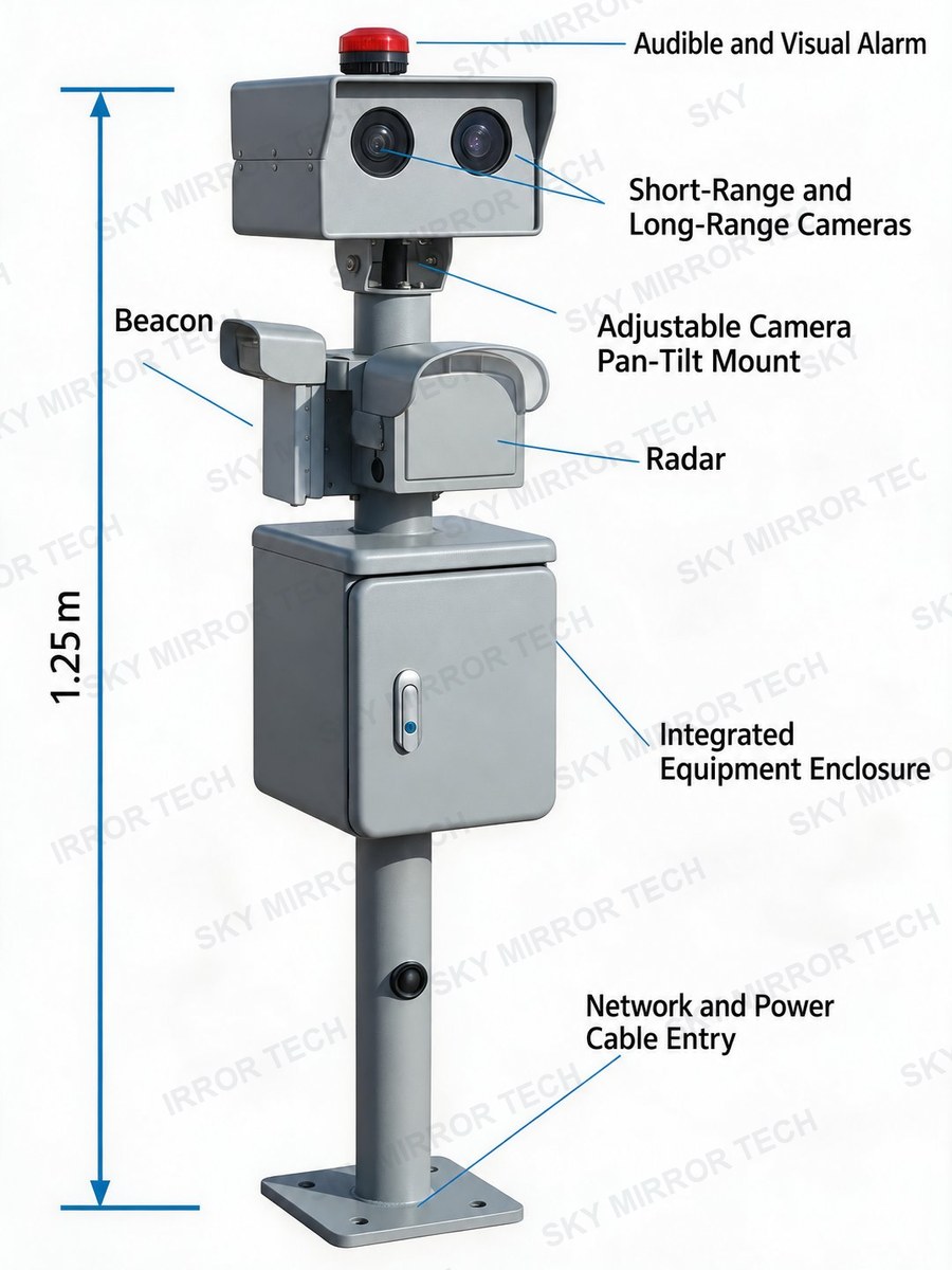
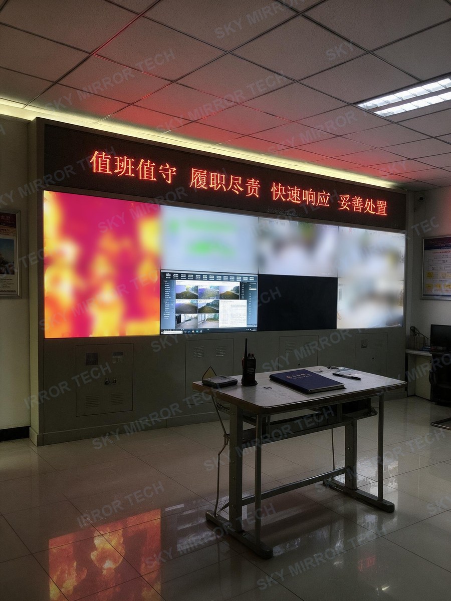
GSR radar monitoring and alarm systems in service across multiple detention centers. Each integrated pole combines radar, beacon, dual cameras and siren; radar-video dual anchoring keeps false alarms near zero, and every deployment passed certified intrusion-alarm acceptance.
Your Site Could Be the Next Case
From a single rooftop to a national network — we scale with your mission.
Discuss Your Project